
Palm Bay Neighbor Record Sources
A block search combines maps with records, because no public office keeps a complete list of Palm Bay neighbors. The Brevard Property Appraiser map shows parcel boundaries and leads to owner cards. Voter files contain lawful public fields but suppress protected data. Palm Bay's association roster lists public leaders and meeting details, not member households. Permit and code material is tied to work or cases at an address. Each source below must be read within that limit.
| Source | What It Shows About a Block | Access |
|---|---|---|
| BCPAO MapView and parcel cards | Adjacent lots, boundaries, assessed owner and mailing contact | Free public viewer; not an occupant list |
| Brevard voter data | Lawful registration and street fields for a defined request | Protected addresses and identity fields suppressed |
| Palm Bay association roster | Association, HOA or watch name, public officer and meeting information | Public contact roster; incomplete and dated |
| Palm Bay permit map | Nearby building permit and inspection context | Free map or city records request |
| FDLE radius search | Purpose-specific registered offender geography | Official radius tool; not a general resident roll |
The assessed owner may be an individual, trust, estate, company, or remote owner. A matching homestead exemption and mailing address can support an owner-occupancy inference, but they do not name every person at the house or prove present physical occupancy. For a whole named road rather than one immediate block, use the Palm Bay street directory.
Map a Palm Bay Block
BCPAO MapView provides Quick Search, parcel and subdivision layers, aerial imagery, measurement tools, sales-year choices, and a Details path. At close zoom, dimensions appear. There is no verified public bulk radius export of owners, so the supported method is deliberate clicking. It takes longer, but it keeps each owner tied to the correct polygon.
- Search the subject street address and zoom until the parcel lines are clear.
- Turn on parcel, block, subdivision, and aerial layers. Open the subject card through Details.
- Click each adjoining polygon. Record the parcel ID, assessed owner, situs, and separate mailing address.
- Pan along both faces of the block, checking side and rear adjacency as well as the next street.
- Use Measure only to establish distance. It does not create an owner export.
Some land-use applications call for a formal 500-foot owner-mailing package through Brevard GIS. That application support can include tax accounts, abutting roadway data, and requester details. It is not advertised as a general Palm Bay neighbors directory.
Palm Bay Owners Versus Occupants
The property card makes an important split. The situs is the assessed property's physical address. The mailing address is where tax notices go. An owner may receive mail elsewhere, and a trust or company may be named instead of a person. A vacant parcel may have no street address. These facts are useful for land research, but none creates a full roll of people living on the block.
- Parcel
- A mapped unit of land with its own assessment account.
- Situs
- The physical location assigned to the assessed property.
- Mailing address
- The destination used for owner notices, which may not be the parcel.
- Homestead
- An assessment status that can support, but does not prove, owner occupancy.
Palm Bay Association Contacts
Palm Bay publishes a roster of associations, HOAs, and neighborhood watches. It includes public leaders or managers and meeting details for groups such as Bayside Lakes, Parkside West, Palm Bay Estates, Sandy Pines, Turkey Creek, Powell Subdivision Watch, North East Organization of Neighbors, and West Pine Estates. The city calls the list incomplete, and it was last updated January 8, 2021. Turkey Creek meetings are marked as not open to the public.
Bayside and Sandy Pines
Bayside Lakes and Courtyard at Sandy Pines reflect later planned communities. Use only the public association contact and meeting details supplied by the city.
Older Palm Bay Areas
Palm Bay Estates, Turkey Creek, and Powell Subdivision Watch connect public community names to older local geography without listing residents.
Neighborhood Groups
North East Organization of Neighbors and Southwest Observers are civic contacts. Their inclusion is not proof that any household belongs.
PM Units and subdivisions also organize parcel records across much of Palm Bay. Search the subdivision, block, and lot when street formatting gives an uncertain result.
Palm Bay Voter Block Limits
Florida registration files can contain name, residence and mailing components, date of birth, party, precinct, district fields, telephone, status, and election-history codes. Brevard's layout includes a Palm Bay city code and up to 20 history columns. Protected addresses display as *** Protected ***. Social Security and driver-license numbers, registration source, and preregistrant data stay confidential. Participation history never reveals ballot choices.
The county supplies data through a defined request process, while Florida's monthly statewide extract is delivered on physical disk. That quirk does not relax privacy rules. Use voter data for its stated civic purpose and do not infer all people in a household from one registration row.
Review Brevard's voter-data request source for the county channel.
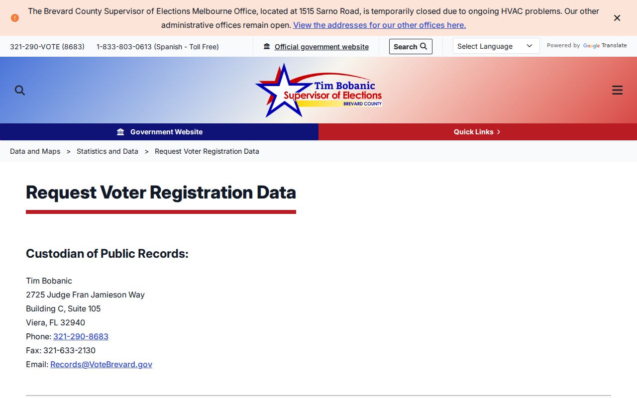
The request channel offers public file access while preserving the fields Florida law closes.
See Florida's voter-extract request source for the disk schedule and cutoff rules.
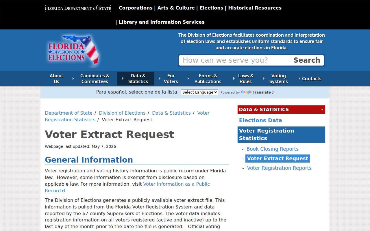
The statewide process is a bulk public-data channel, not a shortcut around suppressed addresses.
Check Palm Bay Nearby Permits
A Palm Bay building permit can show work, a contractor, dates, and inspection status tied to an address. It does not name everyone living there. The official map service includes Building Permits and Building Inspection Data layers. For a missing or older item, send a narrow request to the city that states the address, record type, and time span.
Open the Palm Bay building-permit map source before checking nearby work.
The mapped record adds property context without turning an applicant or contractor into a presumed neighbor.
Palm Bay Neighbor Tool Differences
Official sources and commercial compilation tools answer different questions. Government records name their custodian and preserve account or case identifiers. Commercial products can merge public, purchased, and marketing data, which may be stale or combine two people. No compilation should override the dated source record.
| Source type | Best use | Main limit |
|---|---|---|
| Official parcel and permit records | Ownership, land boundaries, and documented work | Not a household roll |
| Official voter and association data | Defined civic fields and public community contacts | Protected fields and no member roster |
| Commercial neighbor tools | A possible lead for further checking | Unclear freshness, mixed sources, and merged identities |
Palm Bay Block Geography Clues
A Palm Bay street name, ZIP, quadrant suffix, subdivision, and city boundary describe different kinds of geography. They do not always line up. Port Malabar units preserve the planned-development plat system across many parcels, while Bayside Lakes, Sandy Pines, and Parkside West reflect later association areas. The Bayfront redevelopment area has its own named subareas, including Powell Subdivision, Kirby Industrial, Riverview, Bayfront Redevelopment Village, and South Cove. Those labels can explain why two lots that seem close on a road appear under different planning or association records.
Road-renaming files add another useful layer. A Palm Bay application requires the road segment, section-township-range description, reason for the change, legal descriptions, and full mailing addresses and ZIP codes for abutting owners. The process includes a council hearing and E-911 coordination and must run for at least four weeks. Such a file can identify the owners who received notice for that specific action. It should not be treated as a current block directory, because ownership may change after the proceeding.
Use the parcel ID, legal description, subdivision, block, and lot to bridge a changed road label. Then confirm the current displayed owner in BCPAO. A postal address that says Palm Bay also does not prove that the parcel lies inside incorporated city limits. Pair the county parcel map with Palm Bay's city-limits layer whenever municipal jurisdiction affects a permit, code case, association, or records request.
Use Palm Bay Radius Tools Carefully
The FDLE neighborhood search serves a defined public-safety purpose. It searches registered offenders by address, city, ZIP, and radius. A result concerns only the official registry and its rules. It does not describe other Palm Bay neighbors, predict conduct, or establish a general block profile.
Visit the FDLE neighborhood search source to use the official radius fields.
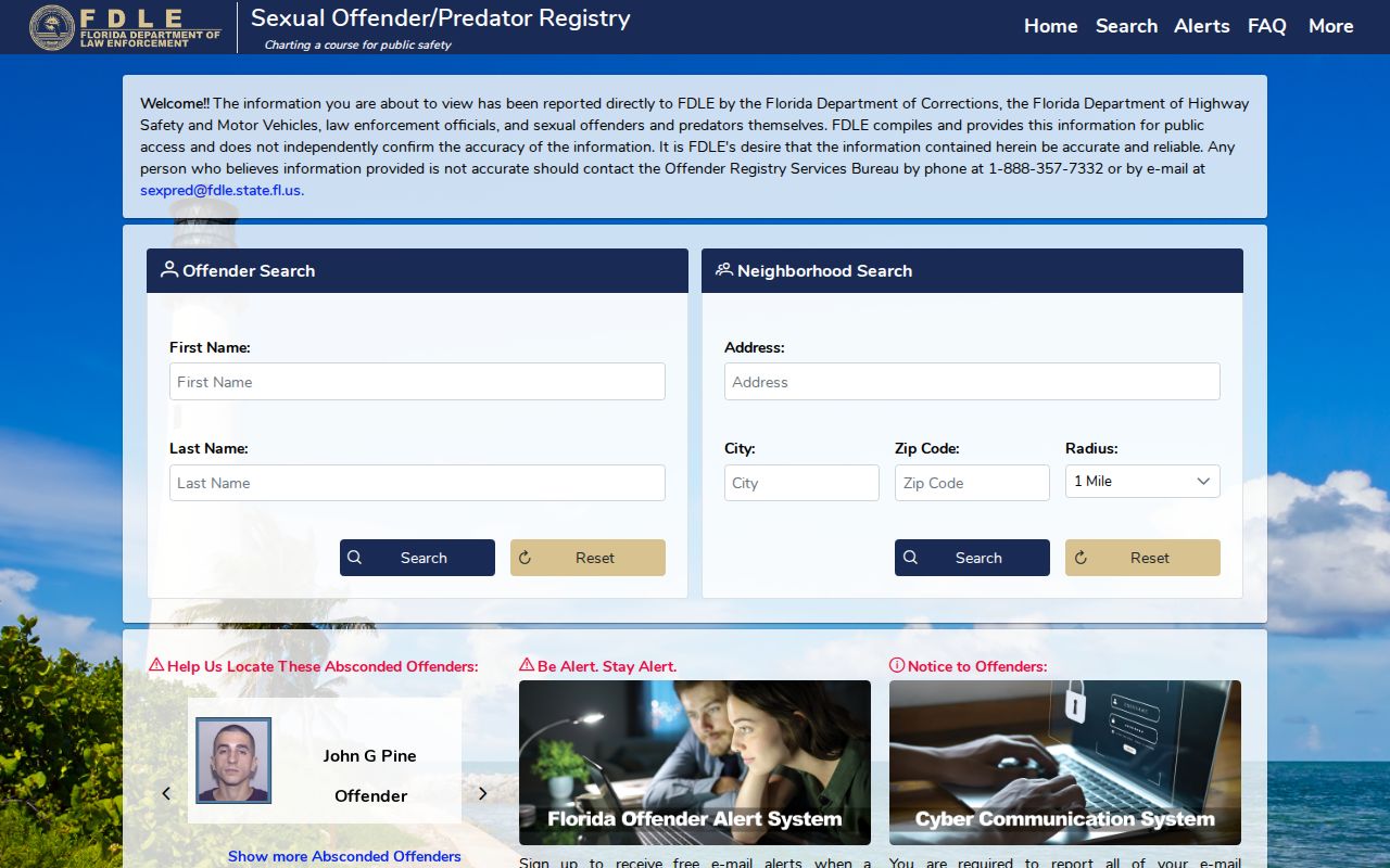
The radius form should stay within its public-safety purpose and should not be blended with a general resident list.
Open FDLE's name and geography source when a known registered person is the proper search subject.
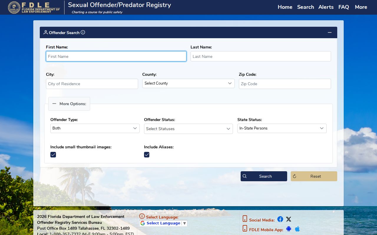
The name search is also purpose-specific, and stale or unrelated address inferences should be avoided.
Palm Bay Neighbor Privacy
Renters, children, unrecorded household members, utility customers, and protected people may not appear in public address sources. Florida's Safe Address program gives qualifying relocated victims a substitute Attorney General address and suppresses voter details where required. Occupational exemptions can protect home information after a valid request. Driver data also remains restricted.
An association contact is not a member directory. A permit applicant is not proof of occupancy. Correct an assessment error through BCPAO and a voter-record issue through election officials. Commercial removal requests cannot erase a correct government record.
Lawful use. Research Palm Bay neighbors for lawful civic, personal, or safety reasons. Never watch, harass, threaten, or intimidate a person with public data.